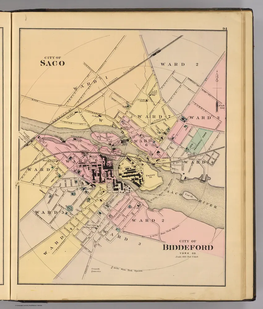


Antique Biddeford, Maine 1941 US Geological Survey Topographic good Map – Old Orchard, Saco, Kennebunkport Fortune Rock Camp Ellis York County ME
Beautiful, antique map of Biddeford, Saco, Kennebunkport, Maine and surrounding York County area. This is an authentic 1941 print from the U.S. Geological Survey and NOT a computer reproduction.
See what the Maine Coast looked like over 80 years ago. Lots of intricate details and geological contours. Map even good has little squares for every house that existed at the time. The USGS cartographers were very thorough back then! On the back is a description of topographic symbols and map guide.
Perfect for the historian, map-lover, the curious or just as a conversation starter. Wonderful and rare. Vintage maps such as these make great gifts.
Edition of 1941, printed 1941
Dimensions: 17" width x 21" height
----
Features
Cities & Towns: Biddeford, Saco, Kennebunkport, North Kennebunkport, Old Orchard, Ocean Park, Camp Ellis, Biddeford Pool, Fortune Rock, Cape Porpoise, Oak Ridge, Gooserock, Bayview, Oak Ridge, Hoyt Neck, Arundel.
Points of Interest: Atlantic Ocean, Maine Coast, Saco River, Kennebunk River, Goosefare Brook, Ferry Beach, Goose Fare Bay, West Brook, Little River, Smith Brook, Batson River, Fletcher Neck, Eagle Island, Negro Island, Stage Island, Wood Island Light, Beach Island, Hoyt Neck, Curtis Cove, Timber Island, Trott Island, Bass Island, Green Island, Vaughn Island, Bumpkin Island, Boston & Maine Railroad, and lots more hills, brooks, ponds, marshes, houses, islands, coves and roads.
Condition: Good Vintage condition, commensurate with age. This map is in great shape for being over 80 years old. Light edge-wear, writing in upper right corner and toning but this will read as vintage character when framed. Map was most likely used in the field. Also has punch holes along left margin, but these are easily-concealed by placing similar colored paper behind the map, as seen in the photos.
----
We will happily adjust shipping price for multiple purchases. Maps are rolled up and shipped in sturdy mailing tubes, never folded.