


Antique 1867 Ohio & Indiana State Map good by S. Augustus Mitchell – Columbus, Cleveland, Cincinnati, Akron, Indianapolis, Fort Wayne, OH IN
good Beautiful, antique map of the counties of Ohio & Indiana. This is an authentic 1871 engraving from S. Augustus Mitchell's "New General Atlas" and NOT a computer reproduction.
See what Indiana and Ohio looked like 150 years ago. Lots of charming, intricate details, decorative border and geological contours, including mountains, islands, counties, canals, railroads and rivers. Hand colored. Verso is blank.
Perfect for the historian, map-lover, the curious or just as a conversation starter. Wonderful and rare. Vintage maps such as these make great gifts.
Edition of 1867, printed 1871
Dimensions: 15 1/4" width x 12 1/2" height
----
Condition: Very Good Vintage condition, commensurate with age. This map is in incredible shape for being 150 years old. Light foxing, toning, edge-wear, but this will read as vintage character when framed.
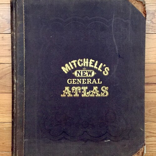
(Atlas cover and front matter shown for informational purposes and not included.)
----
We will happily adjust shipping price for multiple purchases. Maps are rolled up and shipped in sturdy mailing tubes, never folded.